Conquering Otaru's Slopes by Bike | Scenic E-Bike Routes [2026]
・
Otaru is easy to ride from the station to the canal, but one street inland the steep slopes begin. This article sorts out the features of the main slopes, when to use an e-bike or a regular bike, and the scenic routes waiting at the top of the hills.
Why Otaru is called a town of slopes
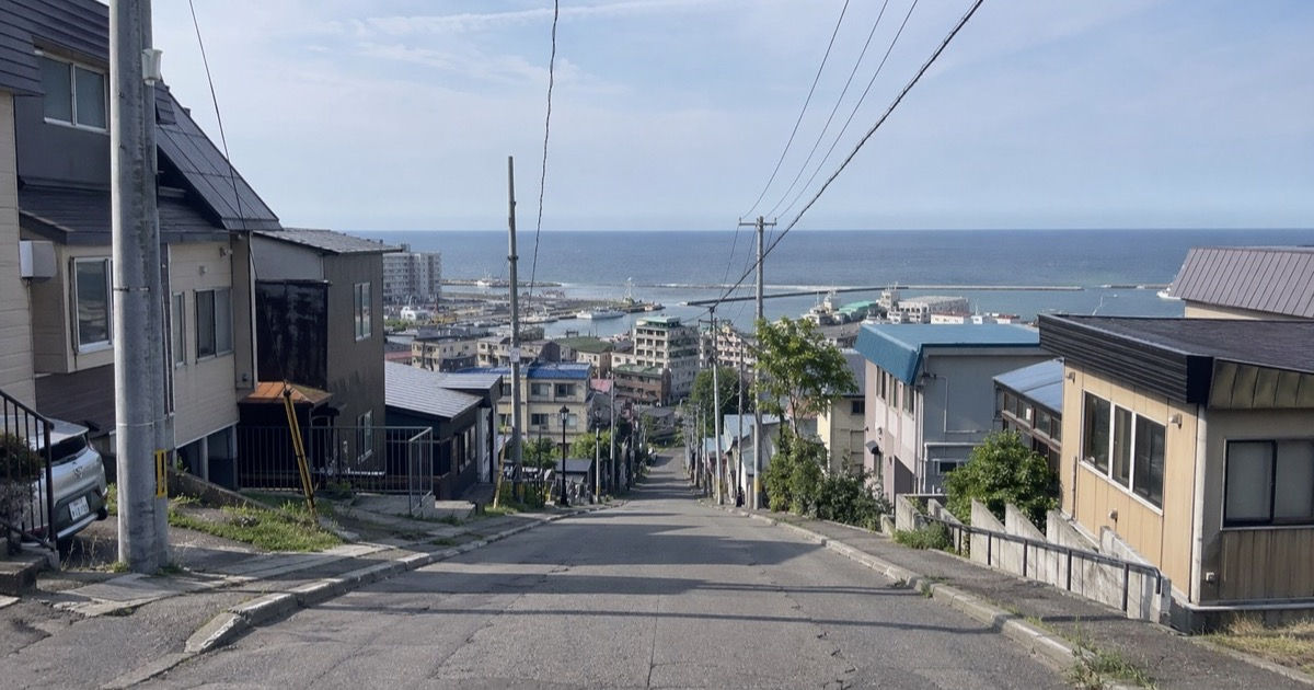
This image was generated by AI for illustrative purposes.
Otaru's sightseeing flow is fairly compact from JR Otaru Station to Otaru Canal and Sakaimachi Street. But head behind the station or up to the high ground overlooking the port, and the elevation rises sharply over a short distance. Otaru City and Hokkaido's official tourism site also introduce slopes such as Funami-zaka, Jigoku-zaka, Miharashi-zaka, Umaya-no-saka and Hagemashi-no-saka as tourist attractions.
The first thing to understand is that not every area is equally demanding. The canal and Sakaimachi Street are easy to walk, with mostly gentle movement. Meanwhile, places "with good views," such as Asahi Observatory, Mt. Tengu and Shukutsu, often involve climbs, and this is where the choice of transport makes a difference.
So it is easier to think of cycling in Otaru not as "a way to get around flat sights," but as a way to reach the views at the top of the slopes.
Choosing between an e-bike and a regular bike
In short, if you mainly ride around the canal and Sakaimachi Street, a regular bike works. On the other hand, if you plan climbs such as Funami-zaka, Asahi Observatory or Shukutsu, an e-bike is more realistic.
| Area you want to ride | Suitable bike | Why |
|---|---|---|
| Mainly the canal, Sakaimachi and the former Temiya Line | A regular bike is OK | Many flat sections and short distances |
| Expanding to Suitengu and around Funami-zaka | An e-bike is safer | Easier to restart on short steep slopes |
| Asahi Observatory, Shukutsu, the foot of Mt. Tengu | Suited to e-bikes | Easier to limit leg fatigue on sustained climbs |
Manufacturers' official e-bikes in the 15.8Ah to 16.0Ah class give an estimate of about 59 to 63 km in high-power mode. However, they also note that range drops considerably on continuous hills. It is easily enough for a half-day of sightseeing in central Otaru, but on days with repeated long climbs, it is easier to keep a margin if you don't lock the assist on the strongest setting.
If you're unsure how to choose a rental, checking the differences in bike types and prices first in the Otaru rental bike comparison guide makes deciding on the day easier.
The five main slopes to know
Even though Otaru's slopes are well known by name, each is demanding in a different way. Some are short and steep, while others are long and gradually wear down your legs.
| Slope | Published figure | Features | How to see it by bike |
|---|---|---|---|
| Funami-zaka | Max gradient 15% | The signature view running straight down to Otaru Port | Climbs hard over a short distance, so on a regular bike you will likely mix in pushing |
| Jigoku-zaka | A long slope of about 1.5 km | A long climb leading to Otaru University of Commerce | A sustained climb rather than a brutal one. Where an e-bike really pays off |
| Miharashi-zaka | 20% gradient per a tourism association feature | Narrow and steep, with the port opening up from the top | Easy to slip into sightseeing, but watch the road width |
| Umaya-no-saka | 11% on the sign at the bottom | A curving slope where you see the sea when you look back | Good views; easy to use as a photogenic slope |
| Hagemashi-no-saka | 904 m long, 83 m elevation gain, max 24% | A brutal slope even by the numbers | Safer to treat as a point of comparison than as part of a standard sightseeing course |
Funami-zaka is often seen in photos, but Hokkaido's official tourism site also issues reminders about safety and manners there. Beyond the great view, it is a place where you need to be considerate of cars and pedestrians around you. Jigoku-zaka is closer to reality when thought of as a long continuous climb rather than a short steep slope.
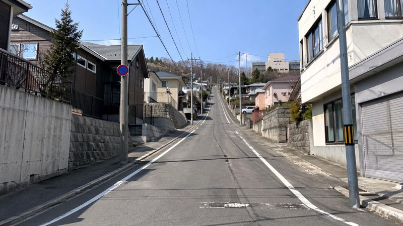
This image was generated by AI for illustrative purposes.
Also, Gaijin-zaka, known in connection with Suitengu, is famous, but it includes sections with stairs and is not suited to being recommended as a cycling climb as is. If you head to Suitengu, it is more practical to plan on approaching from roads such as the Hanazono Park street side.
Three scenic routes that make the slopes work for you
If you just want to avoid slopes, you can choose walking or the bus. Cycling makes sense on courses where there is a view at the end of the climb and it is easy to stop wherever you like along the way.
| Course | One-way estimate | Suits people who | Key points |
|---|---|---|---|
| Asahi Observatory short | About 15–20 min | Want to reach high ground quickly | Short distance from the center, a real sense of achievement |
| Foot of Mt. Tengu + ropeway | About 20–30 min | Want slopes and views without overdoing it | Easy to link bike to the foot of the mountain and ropeway to the top |
| Shukutsu Panorama Observatory | About 30–40 min + walk at the end | Want a longer seaside ride | Easy to plan a route extending from the North Canal to Shukutsu |
Asahi Observatory is a course that reaches a view at 190 m elevation from a spot relatively close behind Otaru Station. Combined with the scenery around Funami-zaka, you can feel Otaru's characteristic elevation changes even in a short time.
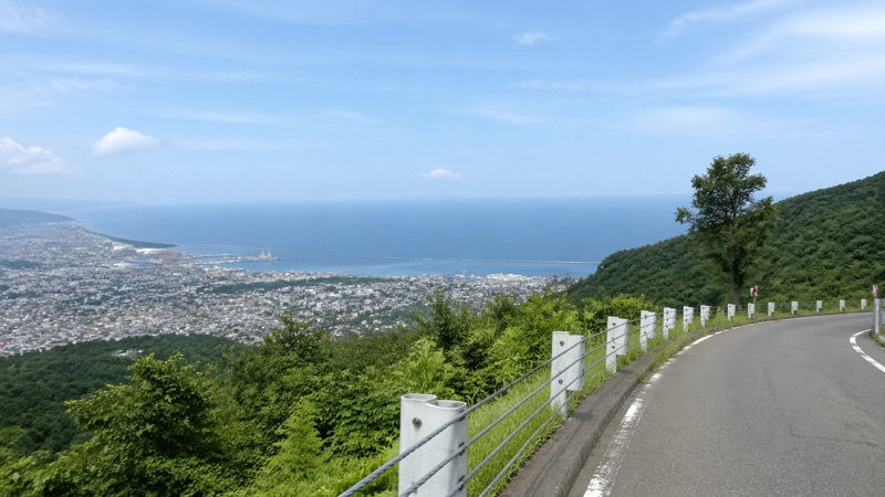
This image was generated by AI for illustrative purposes.
For Mt. Tengu, it is more natural to ride to the foot of the mountain and take the ropeway than to push all the way to the summit by bike. The Otaru Tourism Association's guidance also uses the basic plan of a bus from Otaru Station to the foot and the ropeway to the summit. Going to the foot by bike has the advantage of not being tied to bus times.
Shukutsu Panorama Observatory suits people who want to enjoy the seaside ride itself. Otaru City also introduces it as a spot for sunrises and sunsets; there is a climb near the end, but the scenery changes a lot as you ride. On days when you want to avoid slopes, you can also switch to the flatter half-day cycling course.
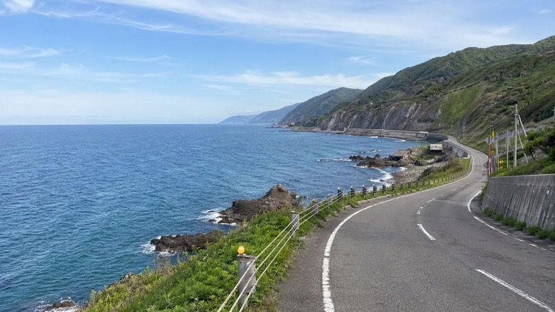
This image was generated by AI for illustrative purposes.
Tips for riding slopes comfortably
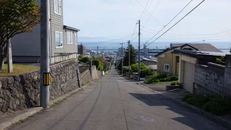
Steep slopes tend to get hard at the moment you switch gears or assist levels partway up. Shift down to a light gear before the climb and turn on the e-bike assist early, and your first pedal strokes will be steadier.
This image was generated by AI for illustrative purposes.
When you need to restart, it is easier to first get yourself set in a safe spot and then start off, rather than forcing it while seated. Especially on short, steep places like Funami-zaka, it is also natural to decide to push your bike for a few dozen meters while enjoying the view.
If you plan to take photos, Funami-zaka is easiest from early morning to mid-morning when traffic and foot traffic tend to drop, and Asahi Observatory and Shukutsu Panorama Observatory from late afternoon to around sunset. Otaru's slopes are also easily affected by wind, so on days when photos are the priority, deciding the time of day first and then planning the course avoids strain.
As for the battery, using high-power mode continuously on climbs drains it faster. Lowering the assist a little on flat sections and raising it only on climbs leaves more margin over the same distance.
Practical information to check before renting
If you want to review getting around from the Otaru Station area as a whole, checking the Otaru transportation guide first makes it easier to choose between bus and bike. On days with longer distances, such as Mt. Tengu or Shukutsu, a combination of biking there and taking the bus back is also an option.
COTARU's rental bikes are at 3-1-1 Inaho, Otaru, with a season from April 1 to around the end of November. All bikes are e-bikes, so it is a good match for people planning sightseeing routes that include slopes. For price and bike comparisons see the comparison guide mentioned above, and for flatter loops see the half-day course article, which makes it easier to decide your route on the day.
When you actually ride, it is important to follow basic practices: get off and walk on the former Temiya Line walkway, don't force overtaking on narrow slopes, and don't block the road when taking scenic photos. Comfort depends less on the slopes themselves than on how you stop and when you decide to restart.
Location of the Otaru Canal area
🗺️ Location of the Otaru Canal area (Google Maps)
You can check the location of the Otaru Canal area (the center) on Google Maps. For the slopes such as Funami-zaka and Jigoku-zaka and the scenic spots covered in this article, and for the detailed address of the COTARU shop, see each spot's description in the article.
Summary
Cycling in Otaru is less difficult because of the slopes than it is easy to plan once you know the types of slopes. Distinguishing the short, steep Funami-zaka, the long Jigoku-zaka and the numerically brutal Hagemashi-no-saka makes it easier to decide how far you want to ride.
You can get around the flat central sections on a regular bike, but if you want to include the views from the high ground, an e-bike avoids strain. If you plan to get around Otaru including slopes, it is easy to plan your route assuming an e-bike and switch to the half-day course on flatter days.
FAQ
Can I ride a regular bicycle in Otaru?
It's fine for short trips in the center, but given the hills and distances, an e-bike is much less tiring.
Can I use a rental bike if I'm nervous about hills?
Choosing a gentle route makes it easier. Avoid steep slopes and don't go too fast downhill.
Can I ride a bike in the rain or on winter roads?
We don't recommend it for safety reasons. When roads are wet or snowy, switch to walking, buses or taxis.